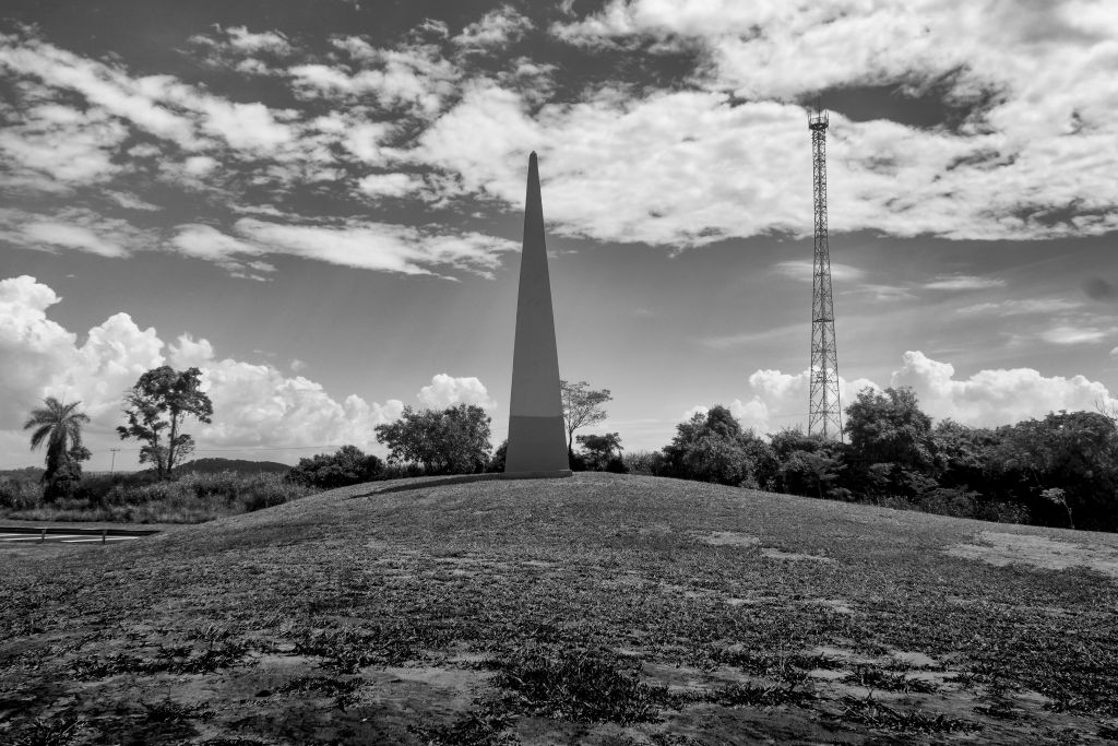
Obelisk of the State Center – Geometric center of the State of São Paulo. Construction 1951 (71 years). National heritage. Classification: CONDEPHAAT. City of Dorado. Coordinates: 22° 04′ 12″ S 48° 26′ 01″ W.
It is located at the confluence of the ‘Comandante João Ribeiro de Barros highway’ (SP-255) with the ‘Luís Augusto de Oliveira Highway’ (SP-215) in the municipality of Dourado, 265 km from São Paulo city, the state capital city.
An obelisk was erected near the site, marking the proximity to the geometric center of the state, or geographic center as it is better known. The monument lacks information boards and the date of its construction remains unknown. A document from 1967, about a bus route in the region that passed by the obelisk, allows us to say that its construction took place during or before that year. In addition, a nearby restaurant called “Restaurante e Lanchonete Obelisco” has existed since 1952, an indication that the obelisk was already built in that year.
The true geographic center of the state of São Paulo is located approximately one and a half kilometers from the obelisk, within a private property, which suggests that the monument was built in that location in a public and easily accessible area. (Wikipedia, the free encyclopedia)
